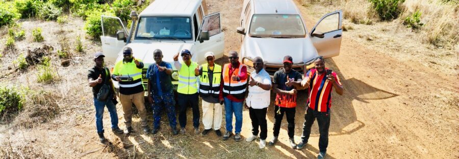
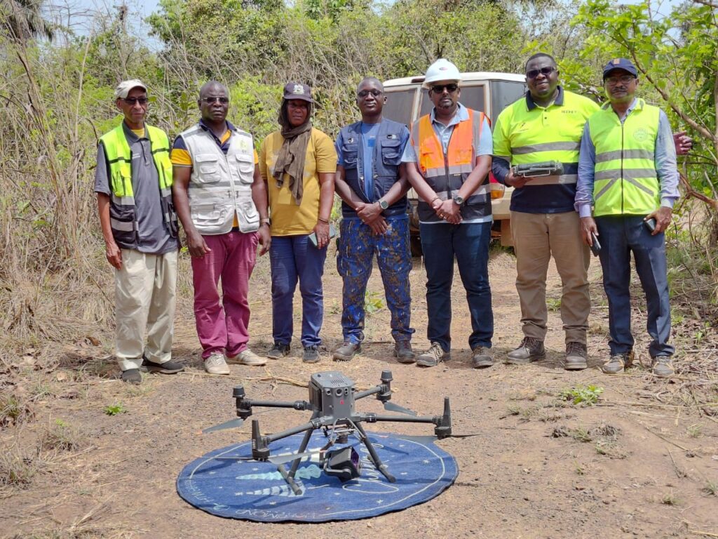
At Dronetec Consults, every project is an opportunity to solve real challenges for our clients—and this 85km LiDAR survey for a power transmission line to the Sierra Leone border was no exception.
Our client required accurate, high-resolution data across a complex and vegetation-heavy corridor to support critical infrastructure development. By leveraging advanced drone-based LiDAR technology, we delivered reliable geospatial insights that enable confident decision-making, reduce project risk, and improve overall efficiency.
What matters most to us is not just the data we capture, but the value it creates:
✔ Faster project timelines through efficient data acquisition
✔ Increased accuracy for better design and planning
✔ Reduced operational risks in difficult terrain
We are grateful for the trust our client placed in us and proud to have supported a project that contributes to regional connectivity and energy infrastructure.
At Dronetec Consults, we focus on understanding our clients’ needs and delivering solutions that move their projects forward.
